1
Early Inhabitants
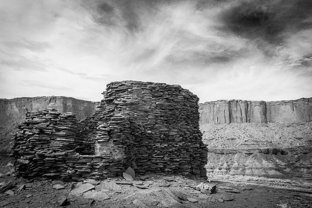
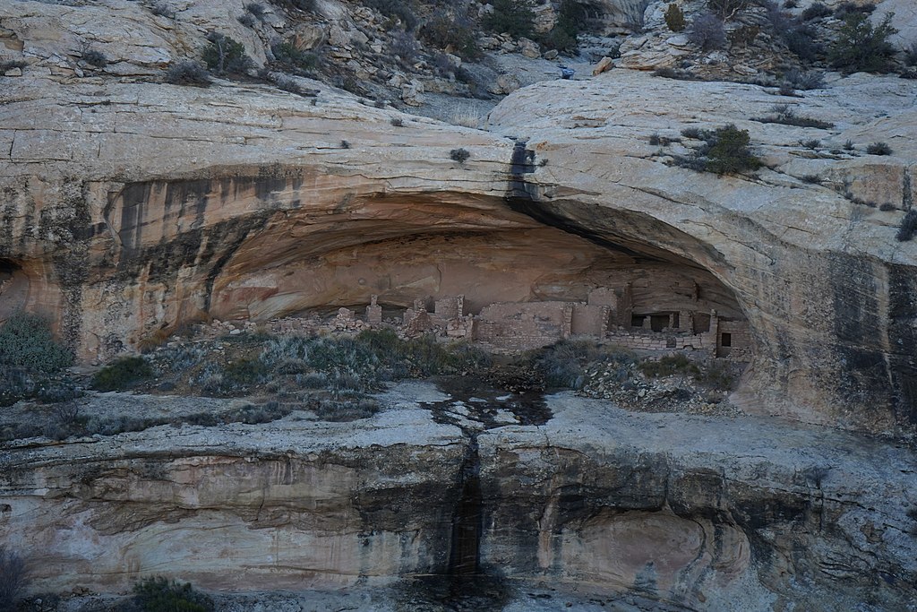
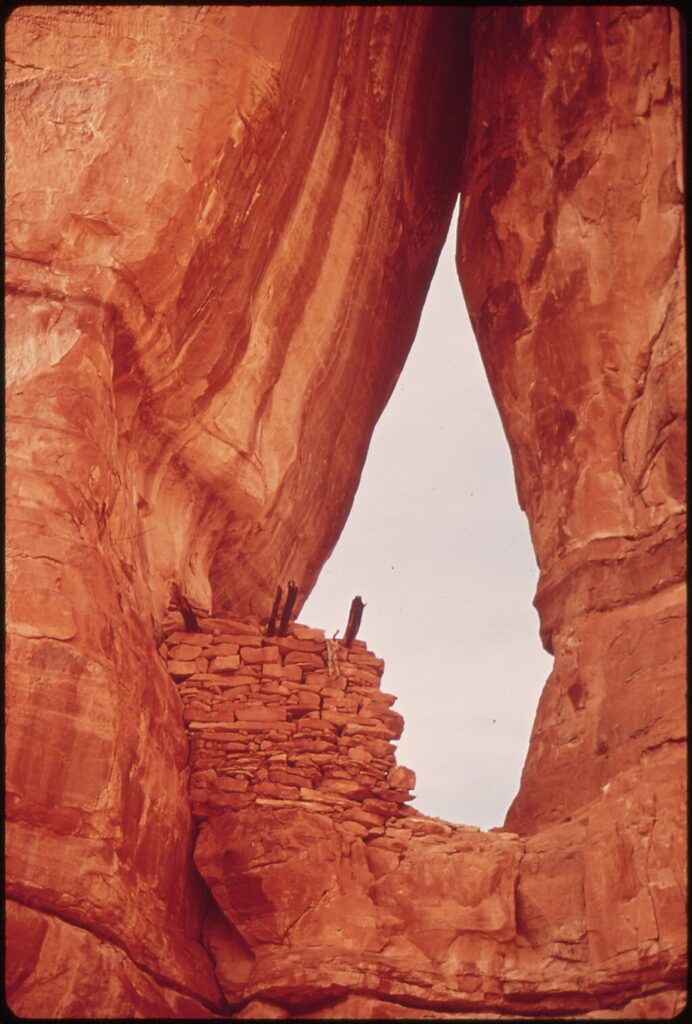

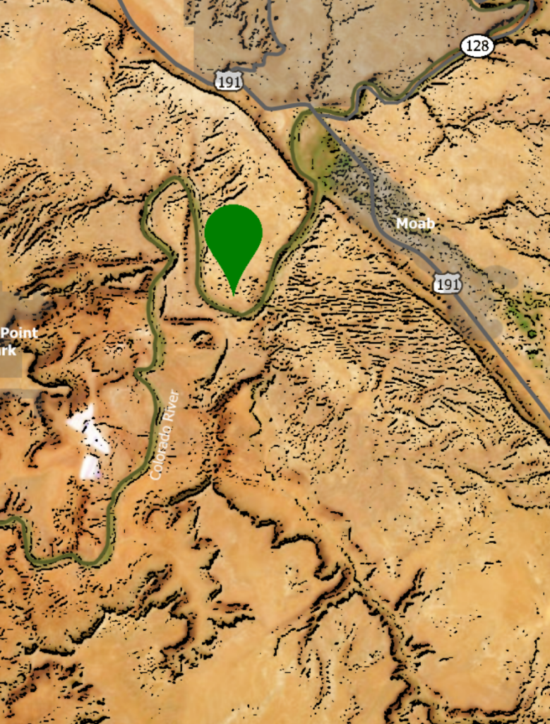
Explore the fascinating world of the early natives who inhabited the Moab Valley. Different groups were known to have lived in the area for thousands of years and were referred to as cliff dwellers. Today, we are able to visit various ruins around the area and more understand their culture and how they were able to thrive.
2
Grand View Point
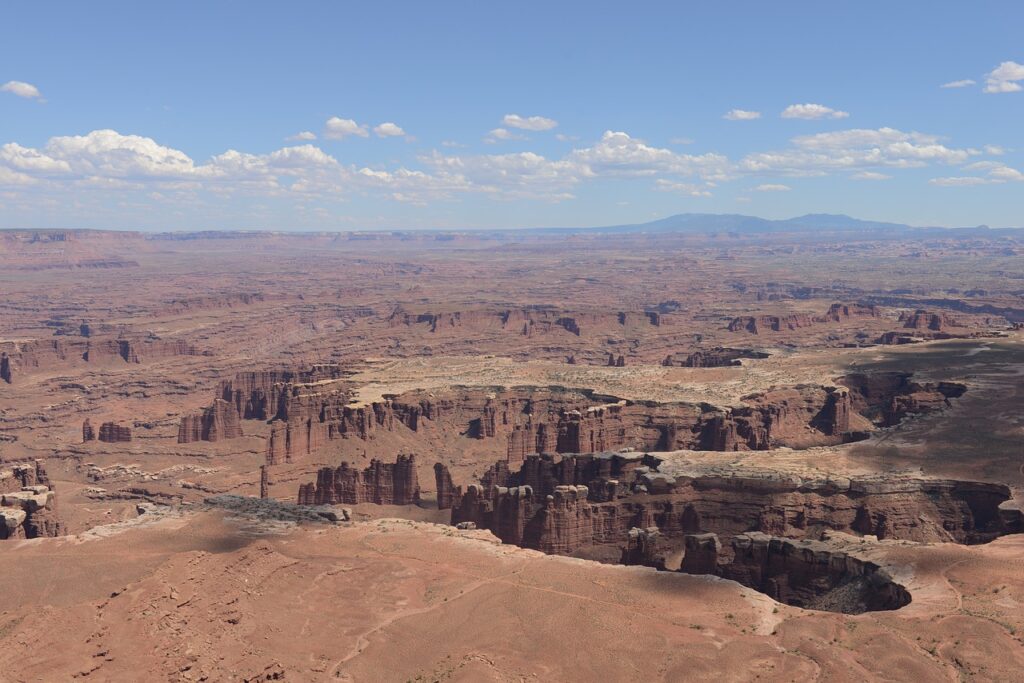
Found in Canyonlands, Grand View Point offers an amazing short hike and breathtaking views.
3
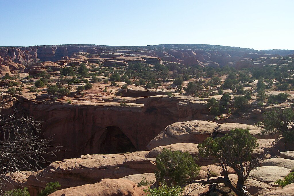
Mesa Arch
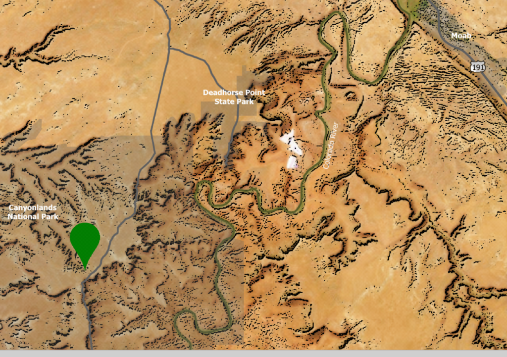
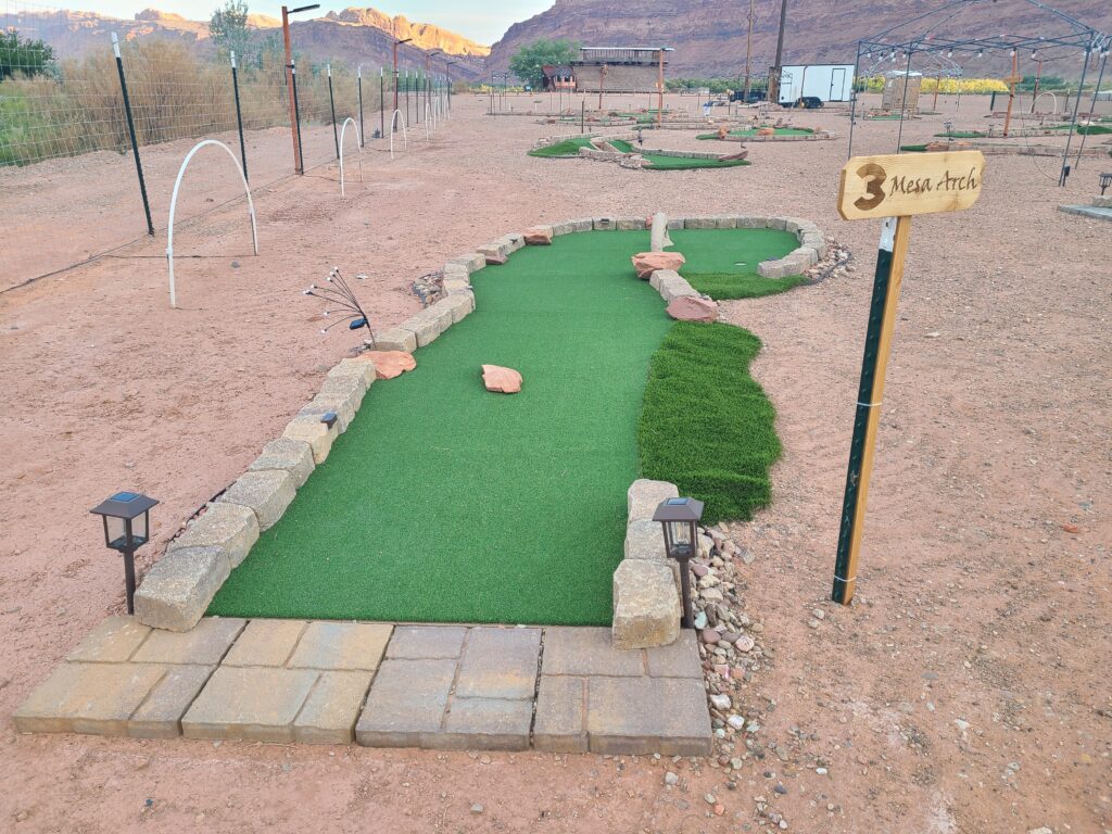

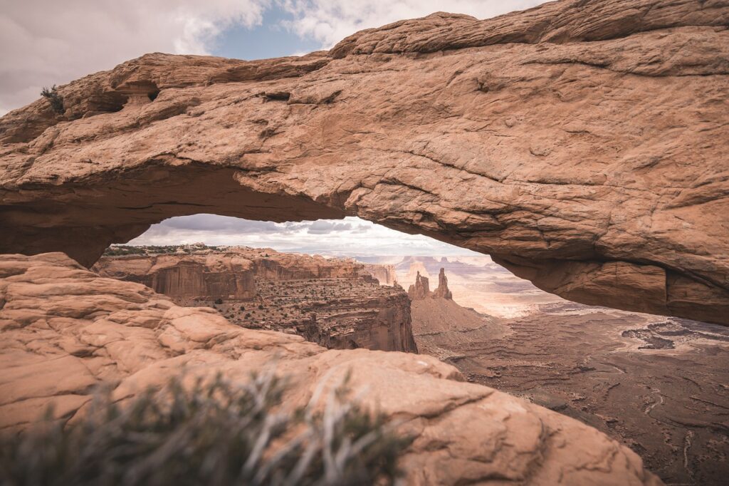
A popular destination in Canyonlands, visitors are able to enjoy an incredible view after a short and easy hike to the arch .
4
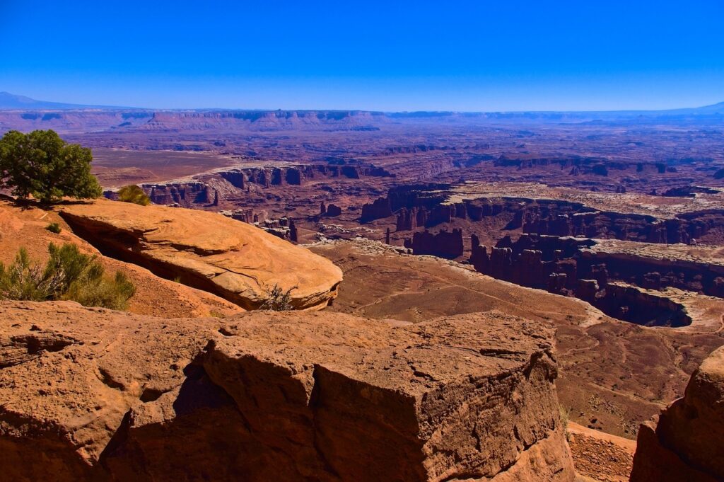
Dead Horse Point
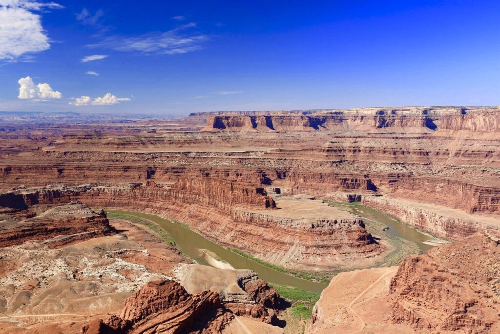
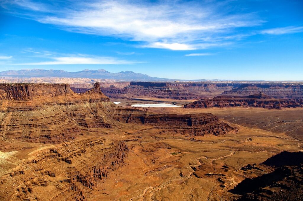
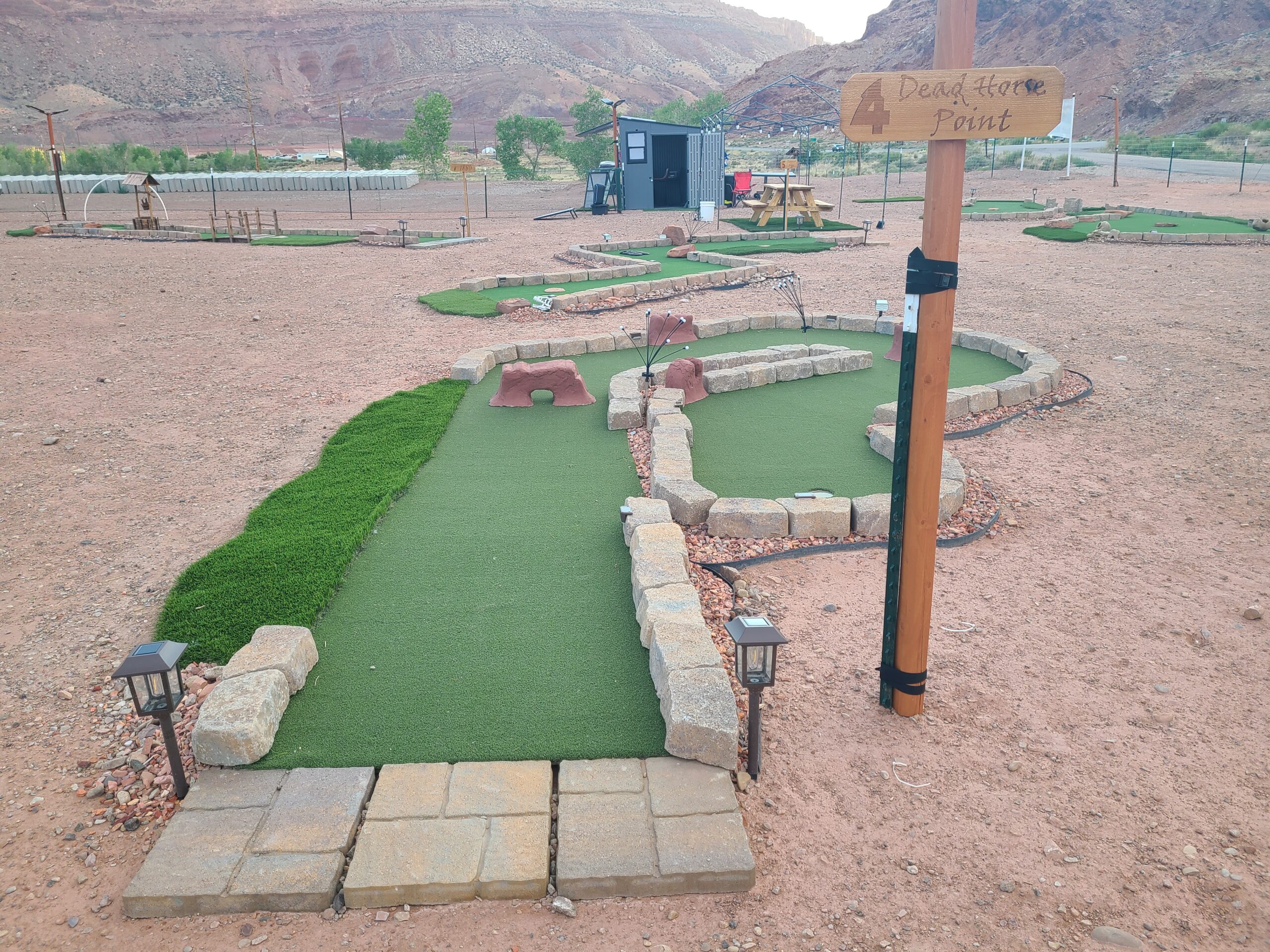
A popular destination near Canyonlands and found in Dead Horse State Park, many drive to the main overlook at Dead Horse Point where they enjoy incredible views.
5
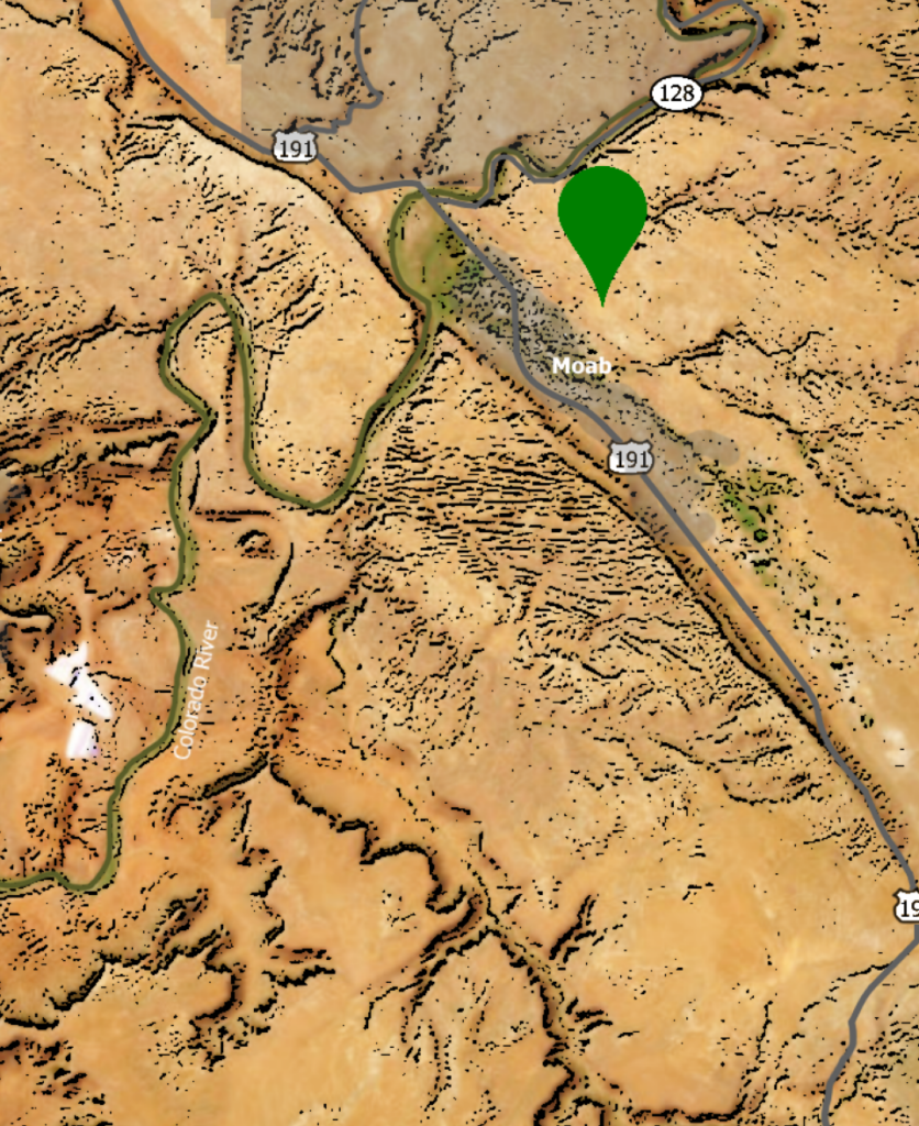
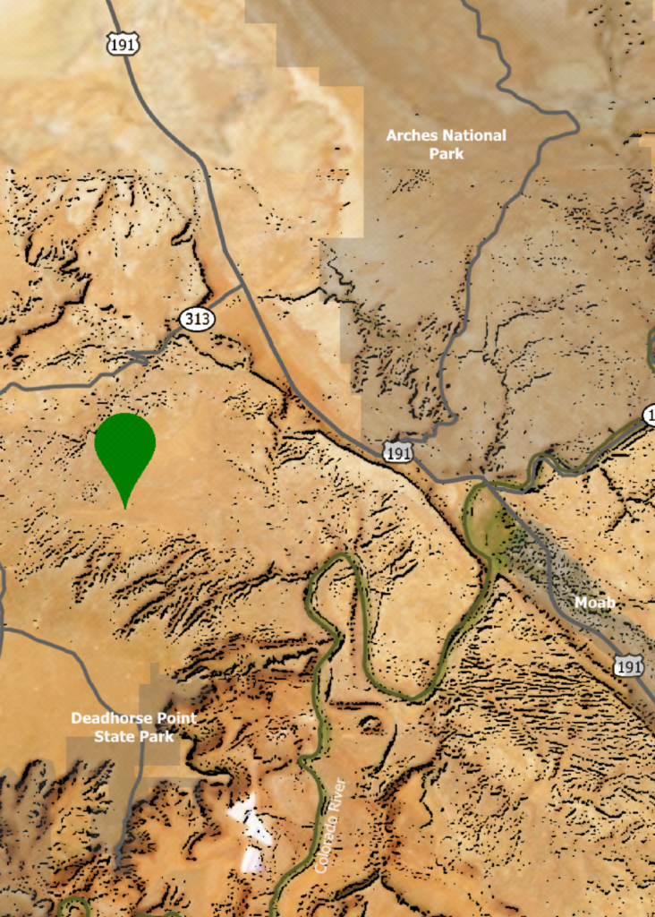
Dinosaur Ridge
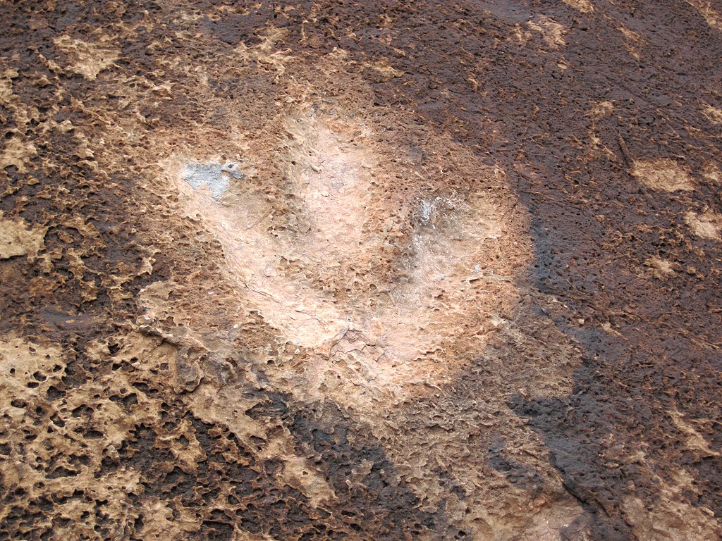
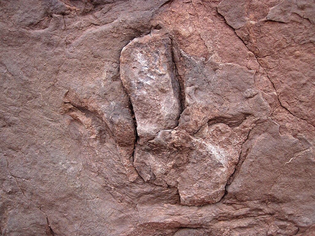

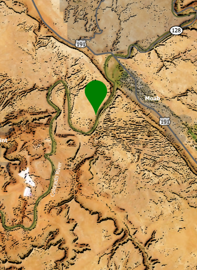
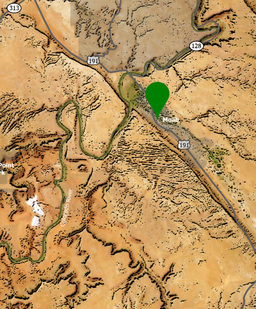
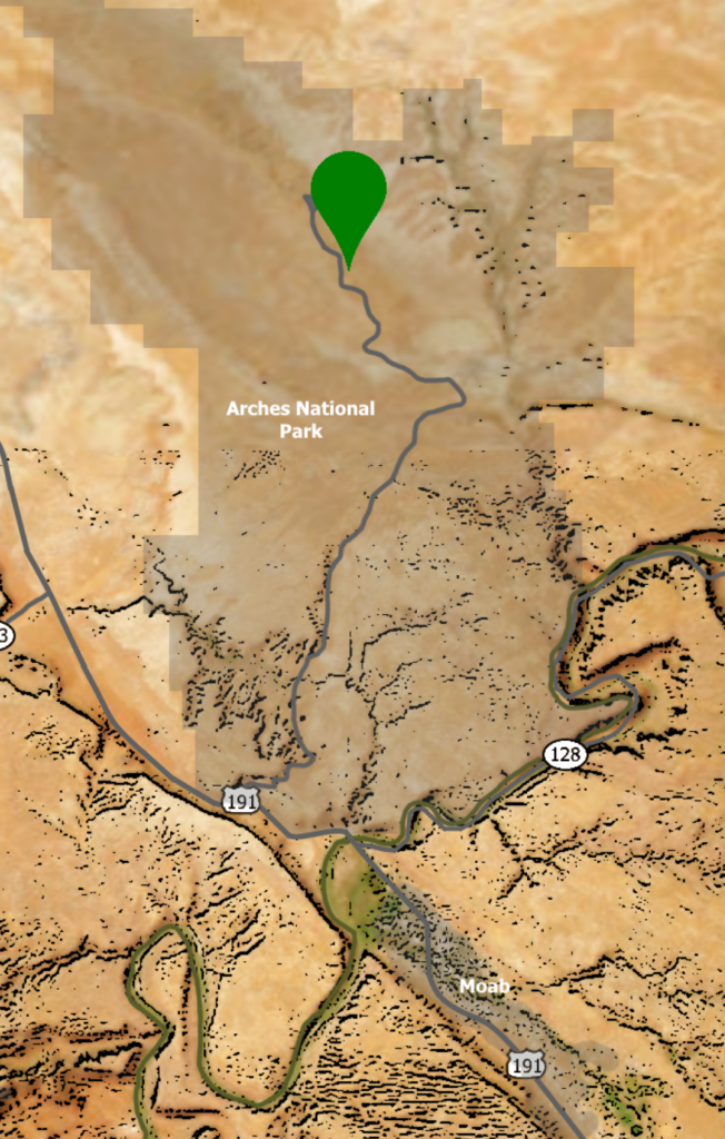
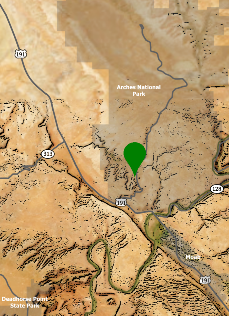
Although there isn’t a place called Dinosaur Ridge in Moab, there are numerous places in the Moab area where Dinosaur tracks can be seen. Poison Spider trail shown in the map above is one of them.
6
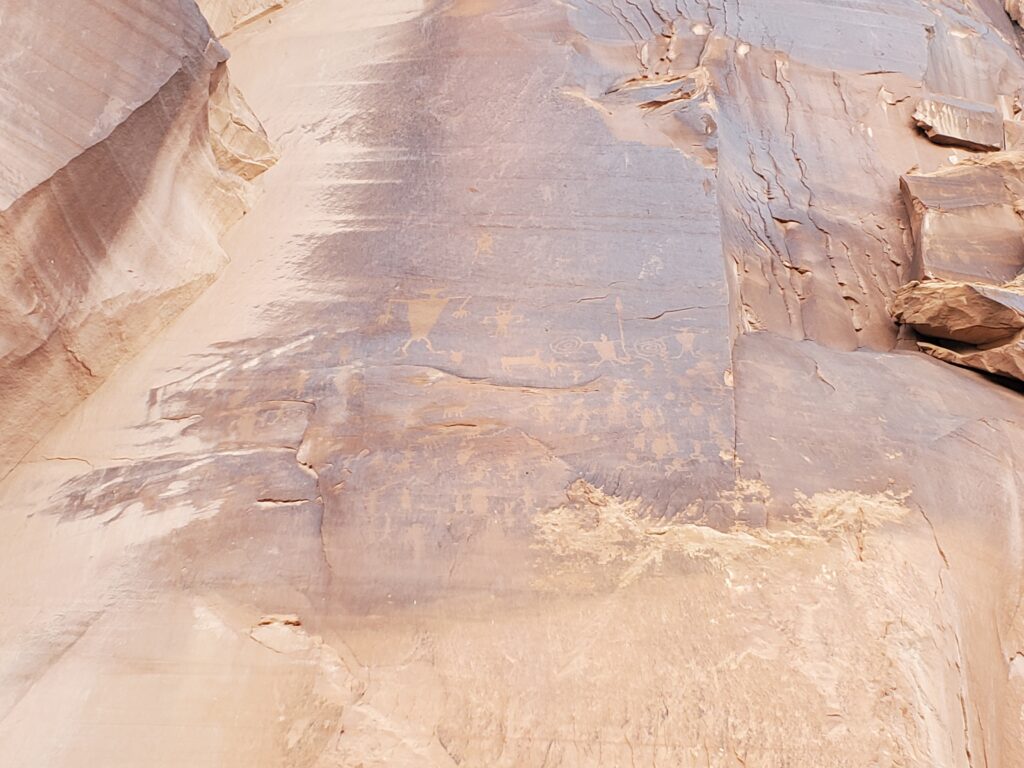
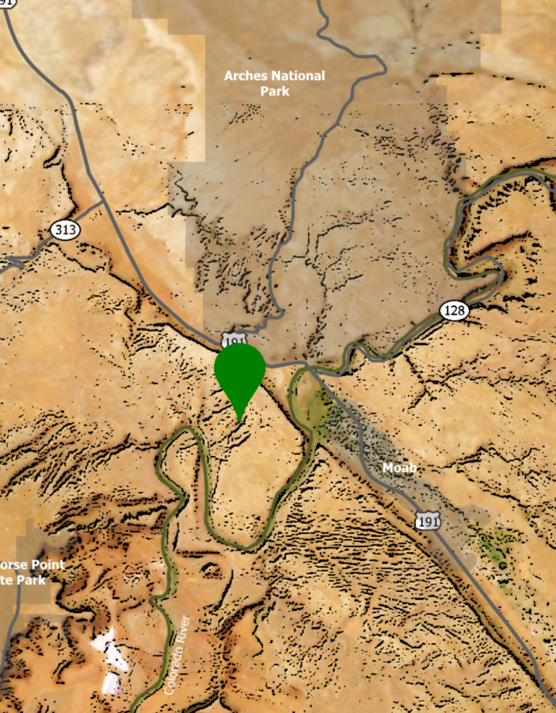
Petroglyphs
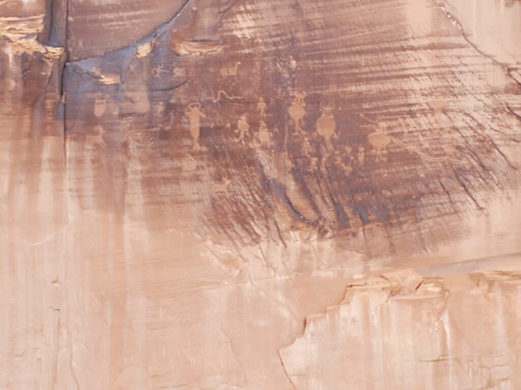
There are many places that ancient petroglyphs can be found in the Moab area including the ones on Poison Spider Trail, in Canyonlands, and on Newspaper Rock. These Petroglyphs above are easy to find and right off of Potash Rd.
7
1880
1880 was the year Moab was granted the name, received a post office, and became a part of Emery County.
8
Hell’s Revenge
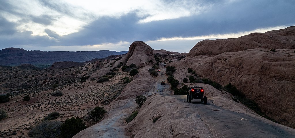
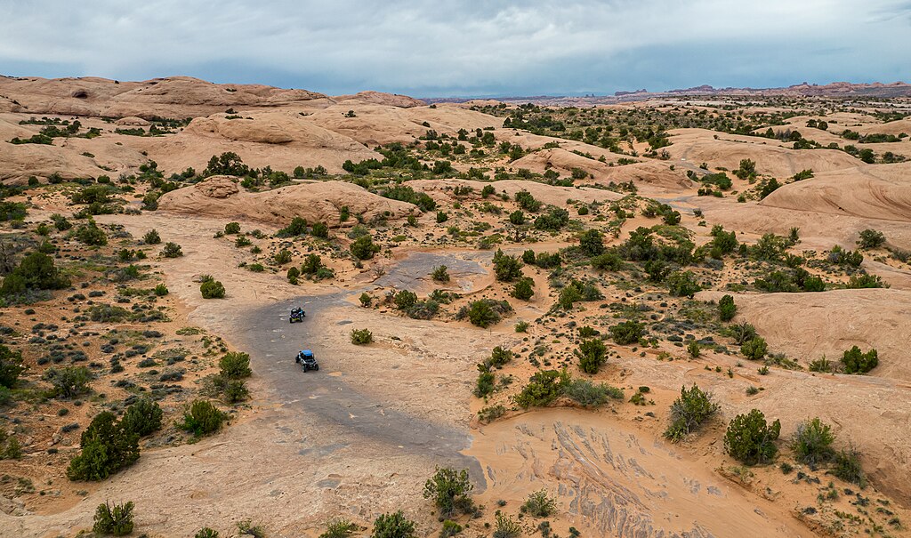
Found in the Sand Flats area on the south side of Moab, this along with many other jeep trails offer amazing adventure and incredible views.
9
Grandstaff Canyon
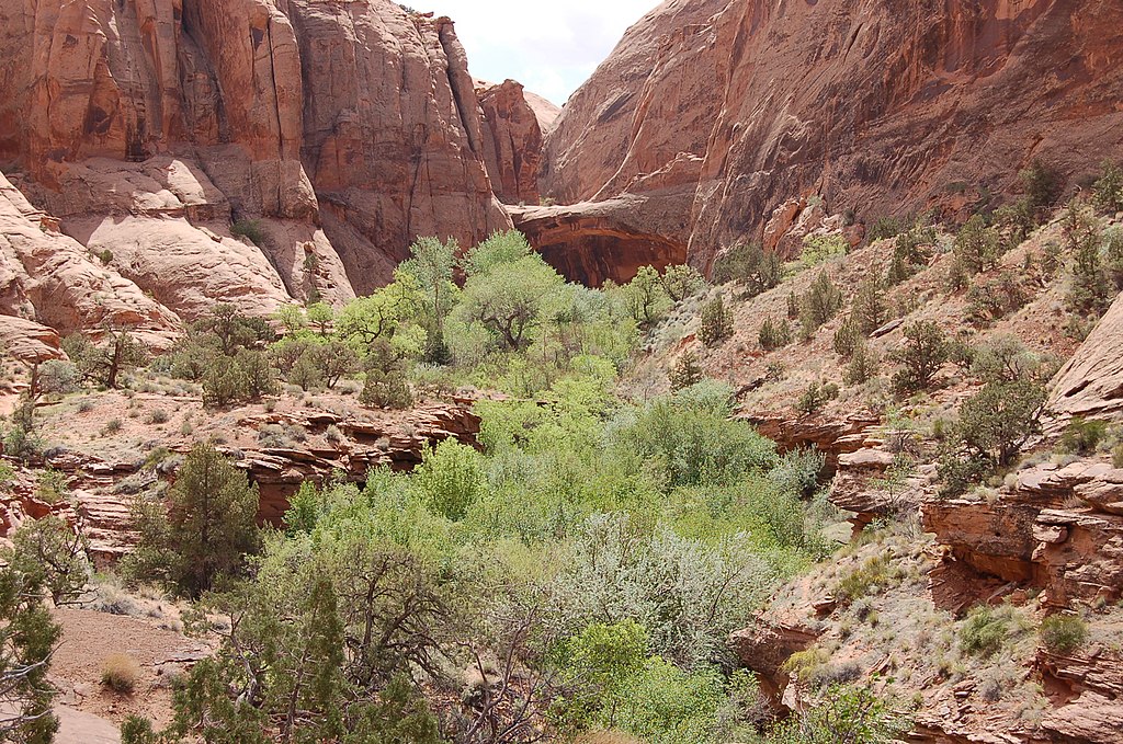
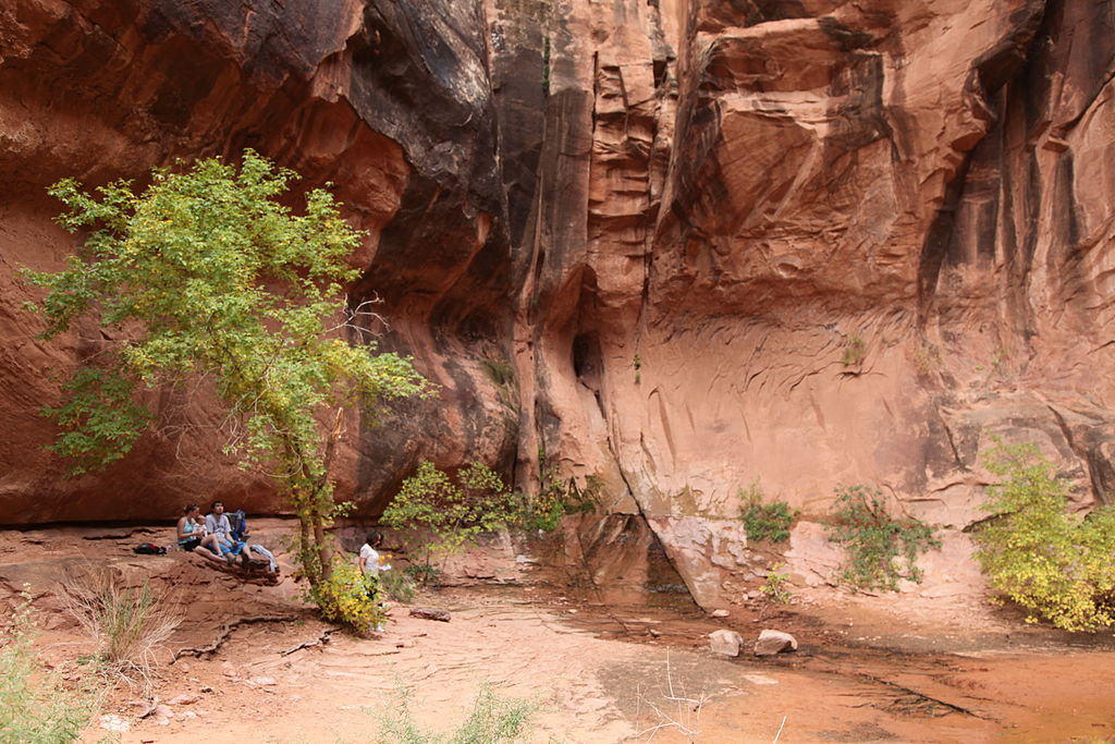
A great and fun hike for the whole family, the Grandstaff Canyon hike offers great views along with a great creek to hike along with to cool off. Be prepared, some areas will have you going through the shallow creek. At the end of the hike, you are rewarded with a beautiful and large arch called Morning Glory Arch.
10
Slick Rock
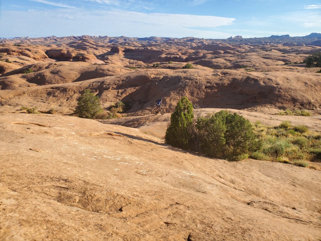
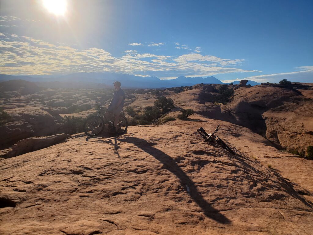
Slick Rock is probably the most popular biking trail in Moab. It’s a 10.5 mile sandstone trail found in the Sand Flats recreation area and shares the biking area with motorcycles. It is a relatively technical ride, and those first timers wanting to try, it offers a shorter practice loop.
11
Castle Valley
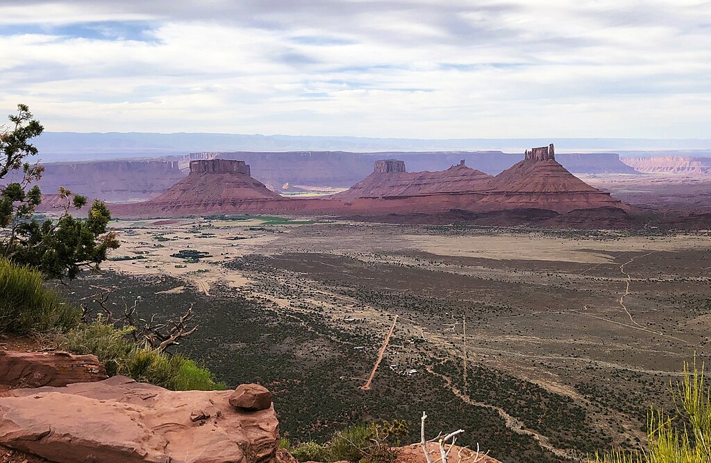
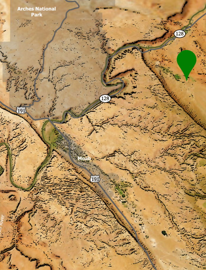
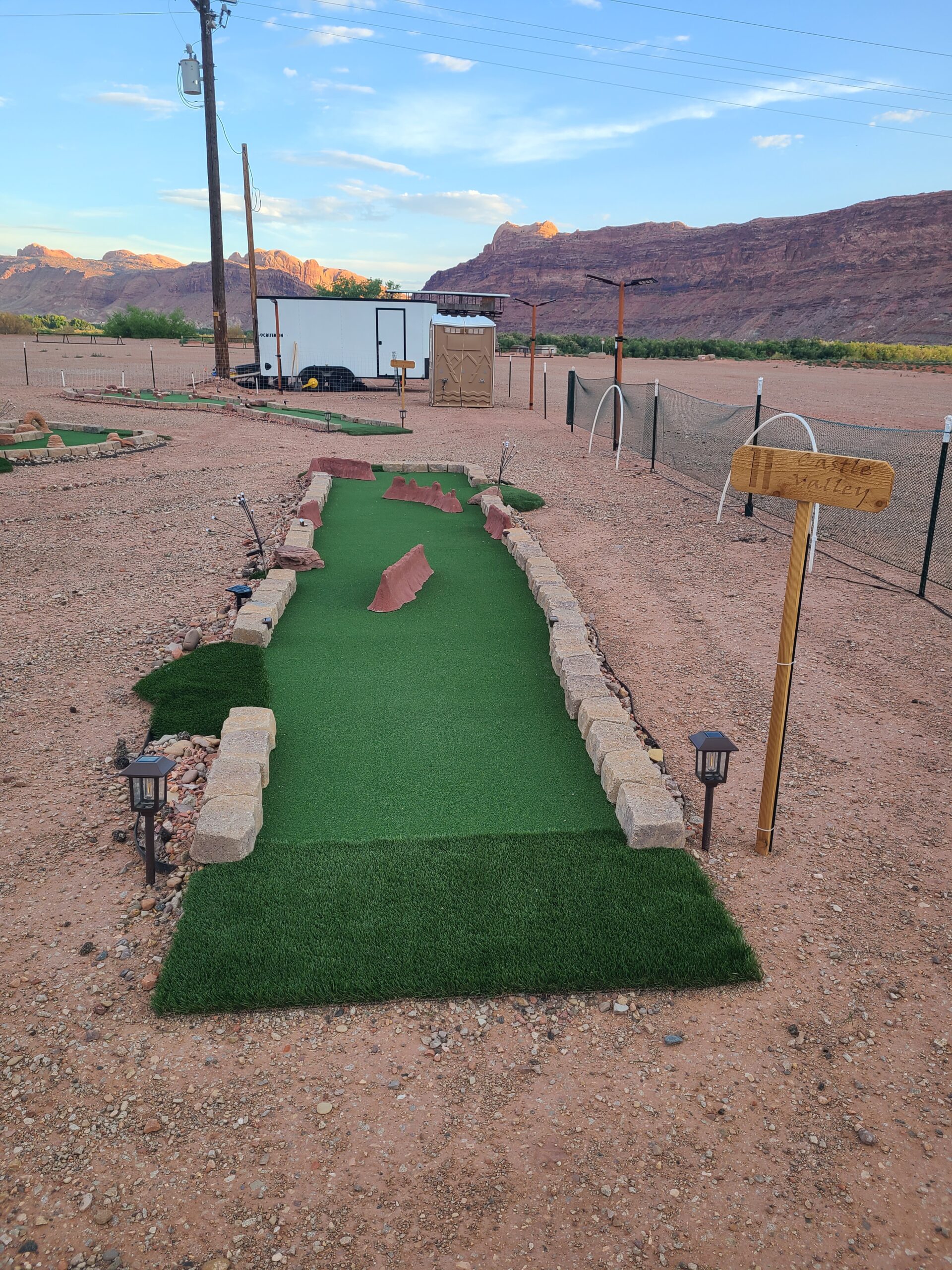
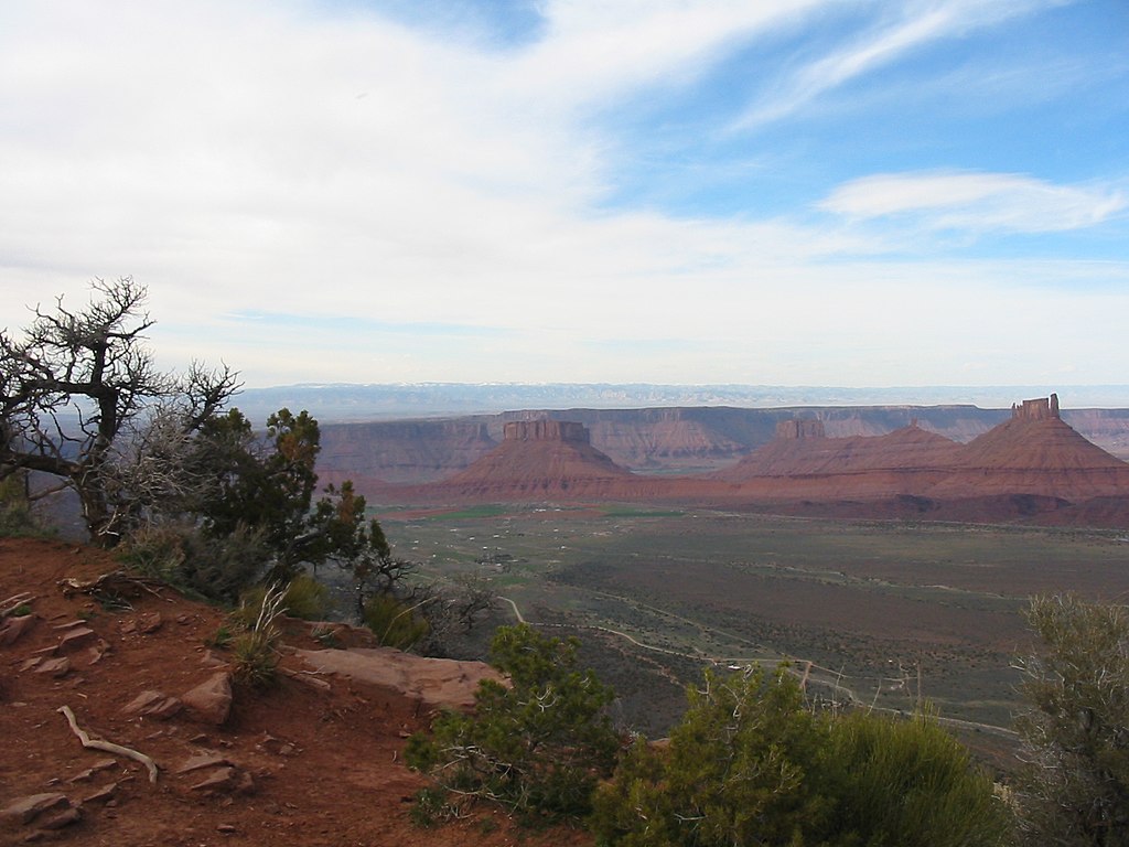
A short drive east of Moab, Castle Valley is a great scenic drive providing views of castle like rock formations.
12
Delicate Arch
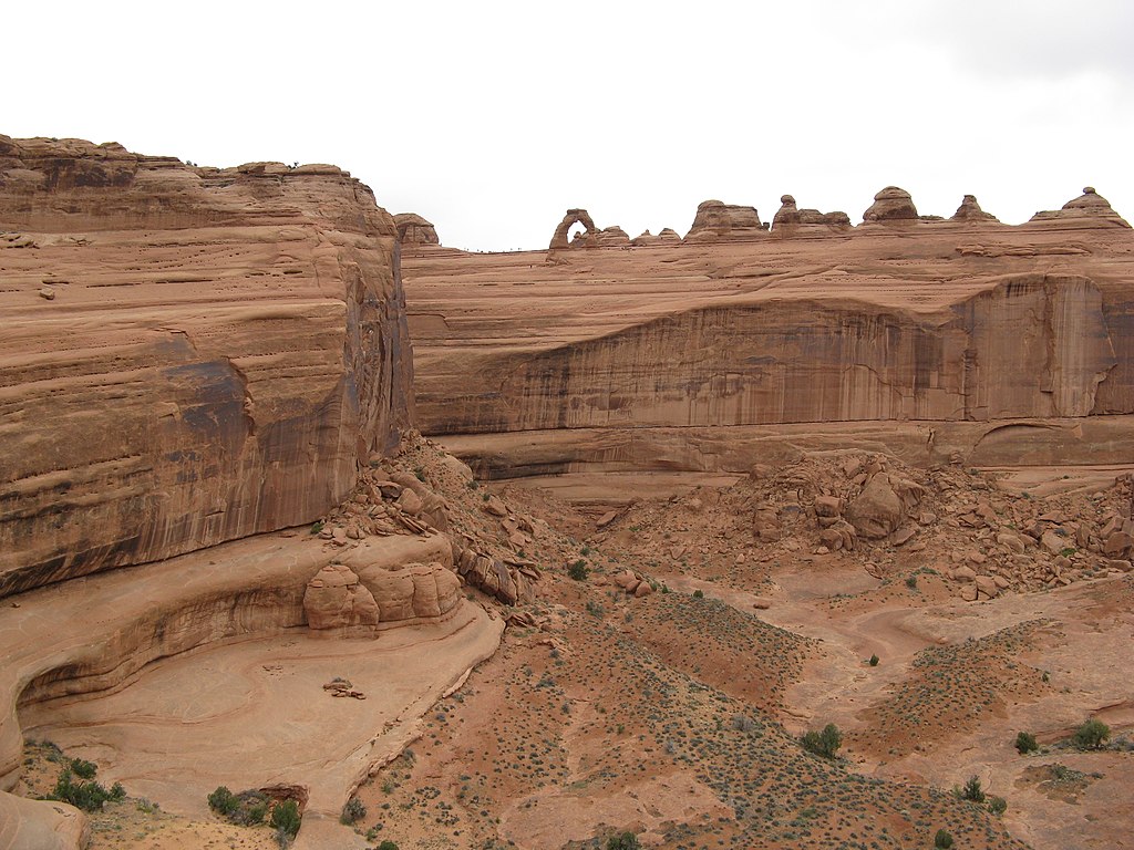
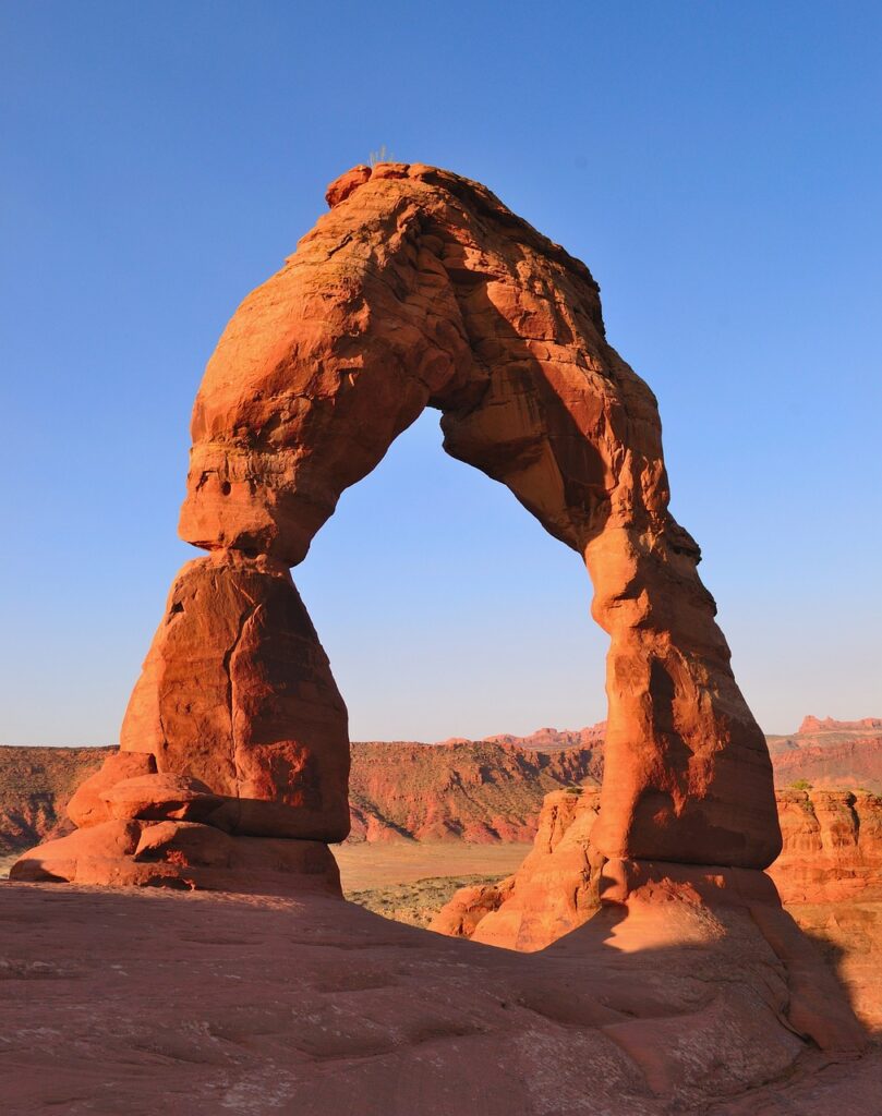
Delicate Arch is the arch that is found on many Utah license plates. It’s the signature arch for Arches National Park and the state. You can reach the arch with a 3 mile hike found in Arches National Park. The hike alone offers great views, but the view at the arch makes it even more worth it.
13
Fiery Furnace
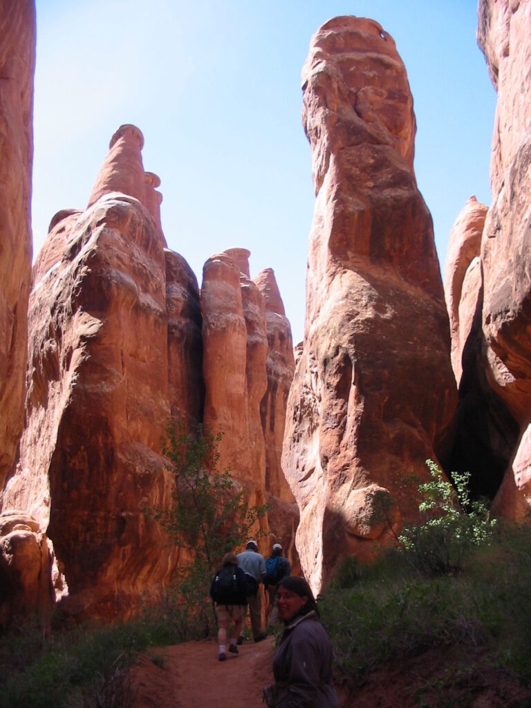
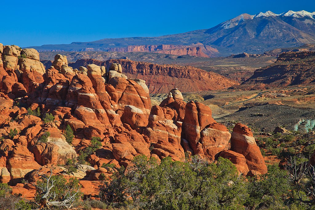
The Fiery Furnace is found at the edge of Arches National Park. A permit must be acquired where people can go on either guided hikes or individually through beautiful tall rock structures and thin paths.
14
Sand Dune Arch
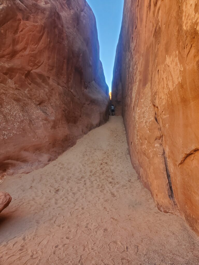
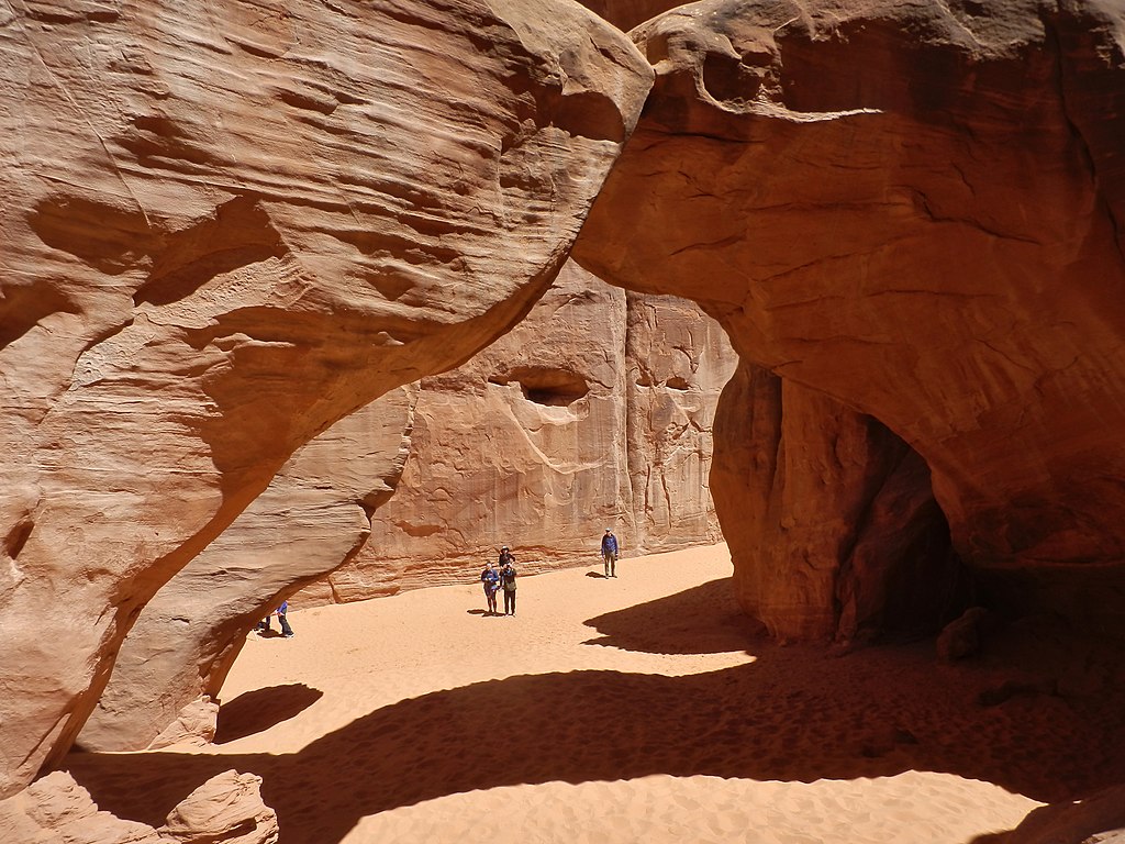
Sand Dune Arch is a must see for those visitting Arches National Park. From the parking lot, it’s a short 1/4 mile hike along soft sand through a narrow cove and canyon like formation to the sand dune arch that’s found in the middle of it.
15
Double Arch
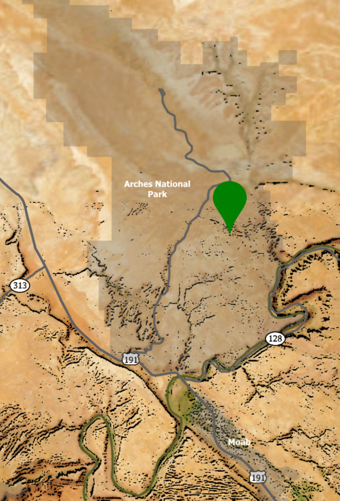
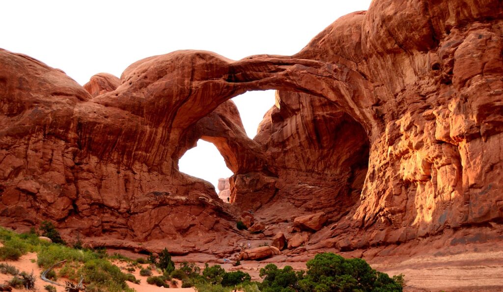
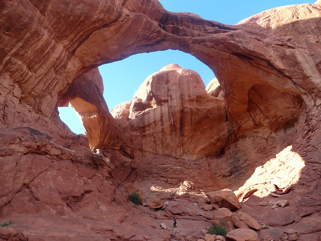
Found in Arches National Park, Double Arch is a popular destination because of it’s size and beauty. It’s a short walk to the arch after parking in The Windows Trailhead. The arch allows hikers to climb a few rocks and explore under the shade of one of the Double Arch’s arches.
16
Park Avenue

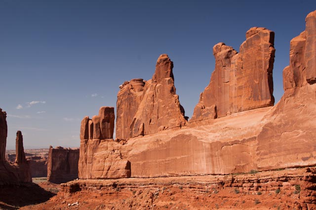
Park Avenue is the first main hike found after entering Arches National Park. Along the trail, hikers can enjoy views of incredible tall towers and majestic rock formations.
17
Corona Arch
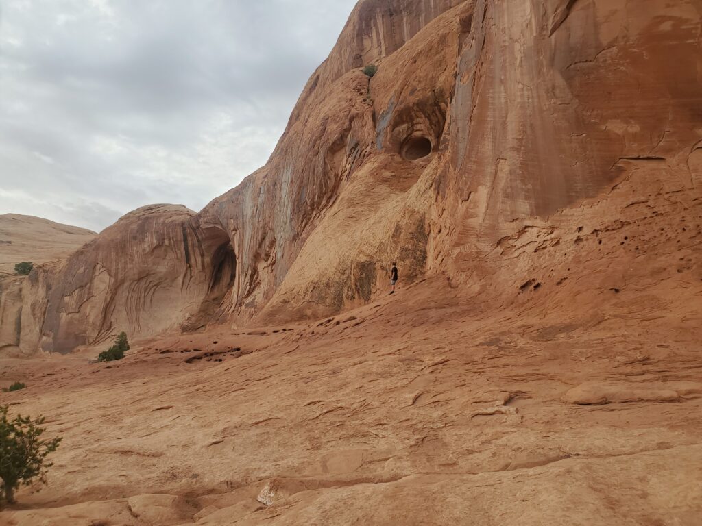
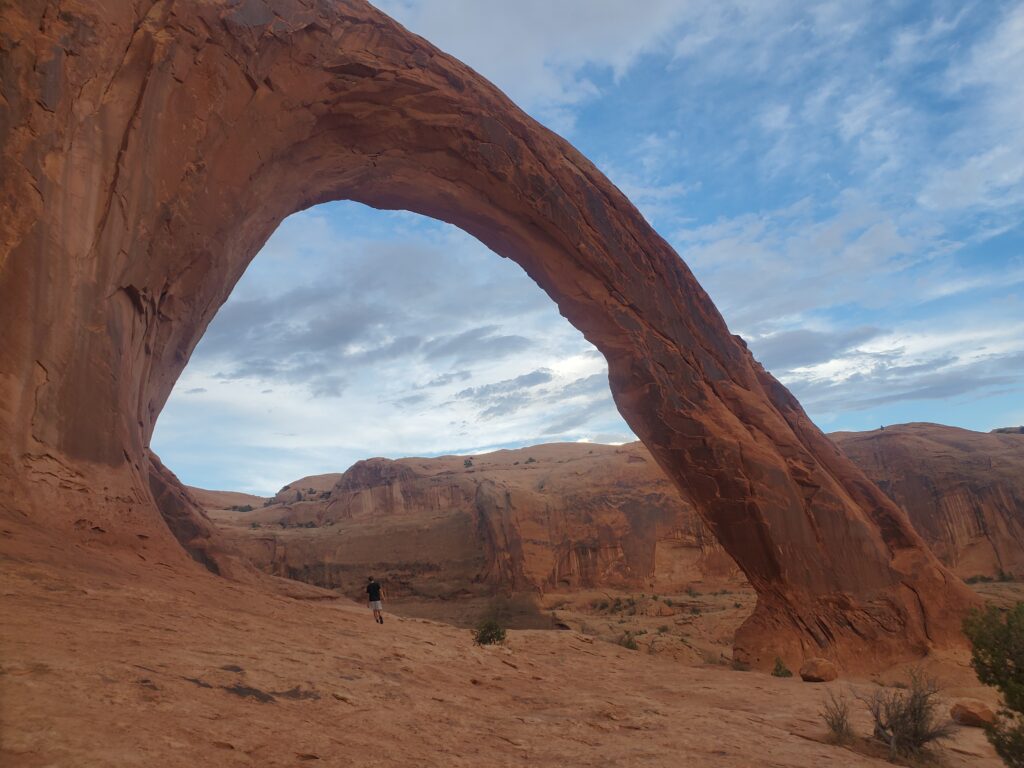
Corona Arch is not found in a national or state park, so it’s not nearly as crowded as other hikes in the area. It is however a great and fun hike with fantastic views. The hike has a few arches that can be seen along the way and ends with a very large and beautiful arch at the end.
18
Gemini Bridges
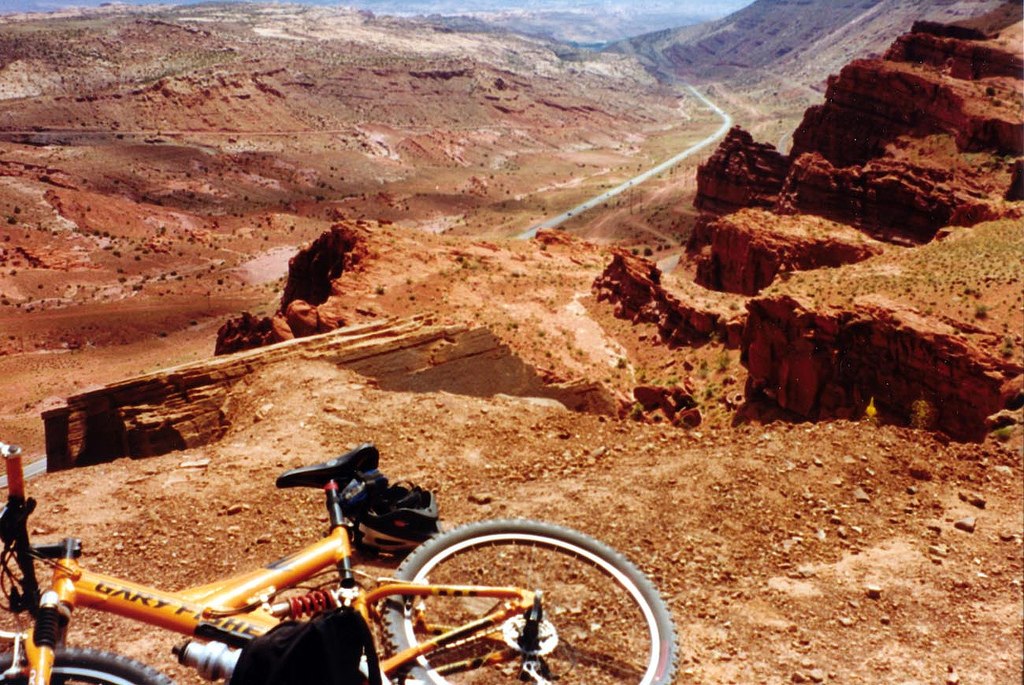
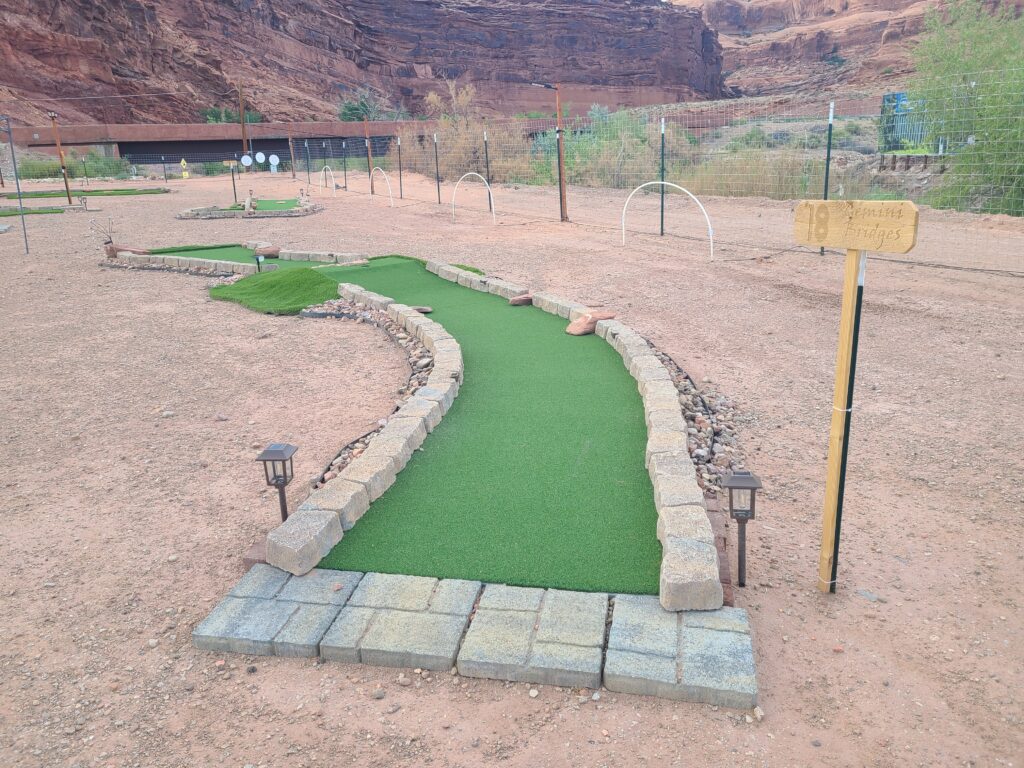
The Gemini Bridges trail is popular for mountain biking with miles and miles of very difficult track that visitors can ride. The trail is very difficult, so only very experienced riders should try these trails. For those who want to see the bridges, hikers can drive to the Gold Bar Rim Trail and take a small hike to the bridges.